Saturday, June 28, 2014

Lake Louise

Under mostly cloudy skies, we drove up to Lake Louise this morning.  The parking lots were filling fast but we managed to find a spot.  While Ted used the restrooms, I walked the path to the lake and came out by the canoe concession.  They charge $45.00 per hour to rent a canoe.  That makes MacArthur Beach rates a steal.  There were a lot of people, mostly Asians on the boardwalk beside the lake and in front of the huge chateau.  I wandered the edge reading the interpretive signs and looking out at the gorgeous turquoise water and Victoria Glacier.
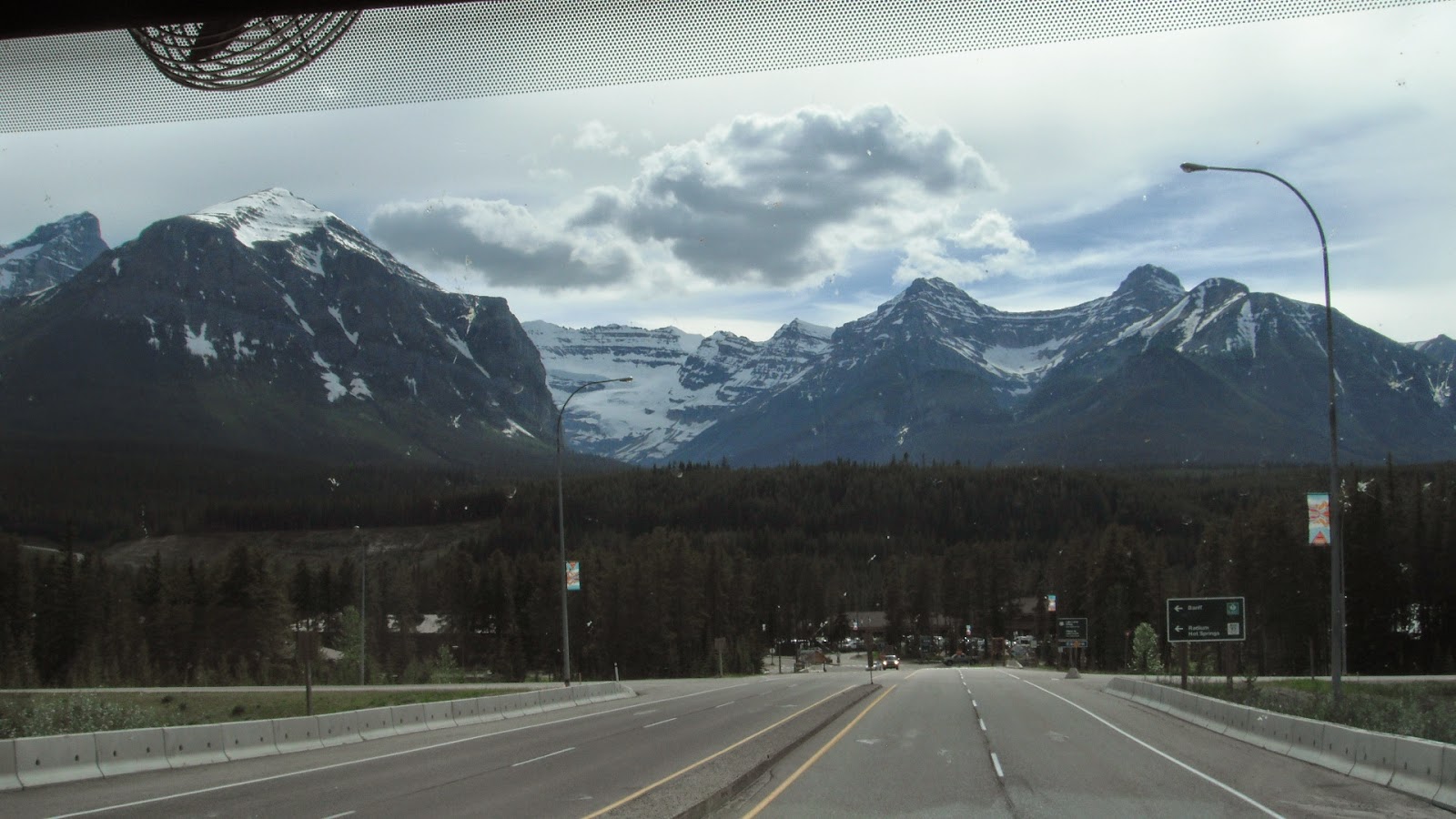
On the Way to Lake Louise
Canoe Rental with Victoria Glacier in Background
At the other end of the lake is Mount Victoria (11,365 feet) with its beautiful glacier.  When the clouds lifted enough, we could see the cracks and crevasses in the huge glacier which one sign said was thicker than twice the height of the Chateau.  The mountain is part of the continental divide.


Victoria Glacier and Lake Louise

The lake itself is fed by six glaciers and even in summer is less than 50 degrees F.  It is often frozen from November through June and the ice is more than three feet thick.  The fine powder, or rock flour, caused by the grinding glaciers is washed into the lake by meltwaters. The resultant silty water absorbs all colors except the turquoise and vivid blue that is reflected back to us.  Most of the rock flour settles to the bottom over the winter causing the water to look an intense color of blue in the spring.

Beautiful Color
We walked a path up towards the front of the Chateau enjoying the flowers along the way.   Then we walked the path on the far side of the lake until we found a secluded bench at the edge of the lake.   We sat there for quite awhile viewing the lake, glacier, paddle boarders and canoes through our binoculars.  A Clark's nutcracker, a pretty gray, black and white bird, landed on the stone wall in front of us and I was able to get a photo of it. 


Lake Louise Chateau

The Flowers Were Great
Our Secluded Spot With Trees Sheltering the Area


Clark's Nutcracker
Another View of the Chateau


We walked back and wandered through the Chateau for a bit window shopping and admiring the decor before returning to the car.  


Chateau Lobby

Restaurant Corridor
Main Entrance


We then took the drive to Lake Moraine which is an even brighter, almost teal, lake situated in the Valley of the Ten Peaks.  The lodge here is much smaller as is the parking area.   We walked a short way beside the lake enjoying the tall mountains and the beautiful lake but the wind was strong coming down the lake and the temperatures were low so we didn't stay long.  We did check out where we might launch our kayaks another day, though.


Valley of the Ten Peaks

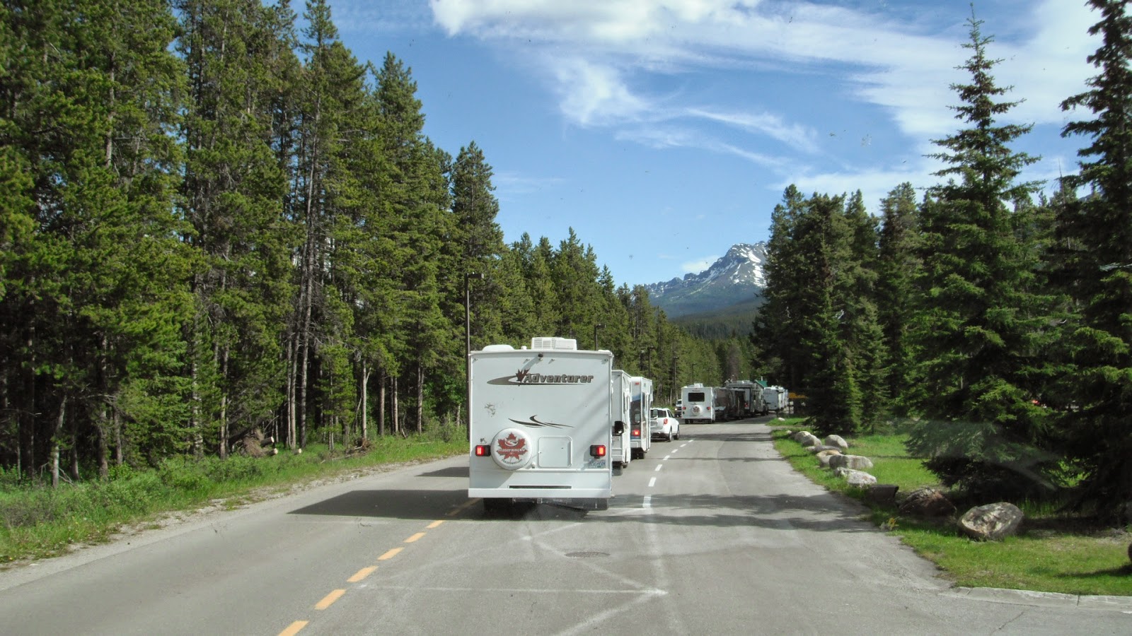
On the Way to Moraine Lake
First View of Moraine Lake

Log Jam at End of Lake
Moraine Lake


Rock Pile and Log Jam at Outlet
Back at the motorhome, Ted wasn't feeling all that great so we settled down to read for awhile thinking to go for a ride later.  Later brought rain so we stayed in and watched a movie.


Friday, June 27, 2014

Lake Louise Village Area

TRAINS!!!  I have always loved trains, I guess because I was brought up in a train town where a large portion of the population either worked on the railroad or in the shops that repaired them.  After last night, my love affair has seriously weakened.  From the time I went to bed until I got up around seven o'clock, seven trains went by the campground.  Each one blew their horns four times, the fourth right beside our campsite.  Ted slept through them all.  We will be here ten nights. Lets hope I get used to it.

After we got ourselves organized, we rode our bicycles out of the "hard-sided park" and across the river to the park that allows tents and pop-ups.  That campground has an electric fence all around it with an electrified cattle guard (they call it a Texas Guard) to allow vehicles to pass.  Pedestrians are supposed to use the electrified gate.  We went in one gate and out another to ride the Bow River Trail.  We rode along the beautiful, fast flowing, aqua river past town to where we crossed a bridge and returned to the village on the other side.


Our Campsite
Bow River


Cattle Guard Going to Tenting Campground

Electric Fence to Keep Bears Out
What we saw of the village consisted of a small shopping mall and the visitors center.  We window shopped fro awhile and it started to rain.  We waited under the eaves of the buildings and then hurried over to the visitors center where we learned all kinds of great facts that we will soon forget.  I do remember that Lake Louise is named for the fourth daughter of Queen Victoria who was married to the first head of the government of Alberta.  Also, Lake Louise is the highest community in Canada at 5,018 feet above sea level.


Shopping Mall

Everything was Beautiful
Walkway to Visitors Center

The visitors center had great displays of the early years of the park, several stuffed animals (real, not toys) and a large section on the geology of the area.  We watched the twenty-three minute film, got a map of the area and got on our bikes to return for a late lunch and do another load of laundry.  


Mountain Goat

Grizzly Bear

Beautiful Bridge Outside Visitors Center


I made a big beef stew for dinner while Ted worked on getting something to put under our front tires which are off the ground.  We watched a movie until the power went off.  Ted checked the other sites around us and went down to report the outage.  The whole town was out of power and the rangers were working on generators to get the electric fence working to protect the campers in tents.  That was okay by us.  We listened to an audio book all evening using the chassis batteries.

Thursday, June 26, 2014

Glacier to Lake Louise Campground, Banff National Park

We woke up to a gray day and by the time we were on the road at 9:00, it was raining.  It made leaving the beautiful spot we had been in much less painful.  We drove north on route 89 through rolling hills of fields.

When we arrived at the Canadian customs, the border patrol told us to wait right where we were.  There was a Prevost bus RV pulled over ahead of us and they were searching it inside and out.  We thought we would have to go through the same routine but luckily did not.  The guy waiting on us asked if we were related to the Leavitts of Cardston, a town nearby.  He said the town was founded by a Mormon with the last name of Leavitt.  The man had three wives and twenty-six children.  There are now 23,000 Leavitt descendants in the world from just the one man.  About 10:00 he let us go with just a "Have a nice day".


We continued north to Fort Macleod where we stopped at Extra Foods for groceries.  It had been awhile since we had stocked up but I hadn't planned on spending $300.  We thought the prices were high but knew we would be in a national park for at least three weeks and didn't want to chance running out.  The store brand or no-name-brand had bright yellow packaging with black letters.

Once into Canada, the land was very flat and very agricultural.  It didn't stop raining until almost two and it was about that time that we started seeing mountains to the northwest.  As we got closer, the mountains got more dramatic.  It took us a lot longer to get to the park than anticipated.  We stopped at the park entrance and bought annual passes which was cheaper than the almost ten dollars a day per person and it is good anywhere in Canada for a year.  Once in the park, the four lane highway had four sets of double arches over the road with grass and trees growing on them.  These were pathways for animals to cross over the highway as high fences blocked them from crossing otherwise.


Flat Farmland with Happy Barn

The Mountains are in Sight
Big Clouds and Big Mountains

Entrance Gate to Banff National Park
Overpasses for Animals

 Lake Louise Village with Victoria Glacier Behind
When we finally arrived at the campground, there were a dozen RVs in front of us waiting to register.  We figured we were in for a long wait.  in a few minutes, a ranger with a clipboard walked up beside us, asked if we had reservations, checked our names off, gave us a map, told us where to go and said someone would be around with our campground permit later.  We bypassed all those people waiting in line.  We were set up by 6:10 and sitting outside with drinks by 6:15.  The sites are double pull-throughs with picnic tables on either side.  There are trees between sites for privacy and we can see high snow covered mountains through the trees.  The sun is out and so are the mosquitos.


Waiting Line for Registration
Mt. Temple near Campground

Wednesday, June 25, 2014

Last Days At Glacier and Off to Canada

Tuesday, June 24, 2014

I didn't sleep last night so decided to just lay low for a day.  Ted got up in the morning before I got up and drove up to Jackson Glacier again.  He saw a herd of twelve elk at Two Dog Flats and a little further on he saw a black bear sow and her cub.  We guess the east side is where it is at for wildlife.

Elk at Two Dog Flats

That's a Bear in the Grass
Jackson Glacier


We sat outside and read until it got too warm and my i-Pad shut down.  I finished the I-cord on my sweater which now only needs buttons and button loops.  It was a beautiful, calm day and we should have been out on the lake but I just didn't have it in me.  In the evening, our neighbors from Utah invited us over to join their campfire and have s'mores.

Wednesday, June 25 2014

This will be our last blog for awhile.  We are going into Canada tomorrow and will have our internet turned off.

We woke up to a really windy morning.  We are sitting up on the side of a hill and are totally unprotected from the wind.  We were worried about the cover over the big slide that faces into the wind so closed that.  Thankfully, we had no problems with it and will probably leave it closed until after we move tomorrow.

We finally went to the visitors' center to see the film on the park.  We took pictures of the relief map showing how many lights representing glaciers there were in 1860 versus how many there are today.  The lights are a little blurry but it gives you an idea of how many have disappeared in the past hundred and fifty years.

Lights Represent Glaciers mid 1800s
Lights Represent Glaciers Now
After lunch, we drove to the end of the road that is open and I got a better view of Jackson Glacier.  We walked a short path from one parking lot to another seeing another nice piece of stonework along the way.  When we came back up to the road a woman asked if we had seen anything interesting.  We were where we had seen the avalanche mess a few days ago so I pointed it out to her.  A man standing nearby said the avalanche had occurred just last week after the big snow storm.  He said that there were over twenty avalanches that had affected the road, some with major damage, and that is why it was not opened yet.

A Stream Runs Through This Under the Road 
Green Rocks Help Erosion From Stream
We drove down to St. Mary Falls Shuttle Stop and took the 1.2 mile hike to see the falls. There were so many different types of wildflowers along the way that I had to keep stopping to take their pictures.  For part of the way, we could see the end of St. Mary Lake and after that, the St. Mary River.  It was a beautiful hike on a beautiful day with lots of other people on the trail.  

Moss Covered Falls Beside Trail
Indian Paintbrush

St. Mary Lake From Trail
At St. Mary Falls
St. Mary Falls
View From Bridge at St. Mary Falls


A young man that we met on the trail told us we had to continue on and see the other two falls that weren't far beyond the first falls.  Up a steep path but not too far was another spectacular falls where we stopped to take pictures.  I sat there in the mist from the falls while Ted walked up the trail a little farther to see the third falls which was just a narrow gorge in the rocks.  What we didn't find and should have gone another half mile to see was Virginia Falls which I took a photo of from across the lake a few days before.  I'm pretty sure that was the fall the guy was telling us was so wonderful.  Oh well, next time.

Second Falls
Second Falls Looking Down 
Great Place to Rest at Second Falls 
Third Falls
When we got back to the car, we drove to Sunrift Gorge Pullout.  Stairs lead up a path a couple hundred feet to a view of a really narrow gorge with a swift stream flowing out of it.  On the other side of the bridge and downhill from the gorge was a .3 mile steep trail leading to Baring Falls.  I was sweaty and tired but Ted had to do it so I sat by the stream for awhile and he went down the trail.  He was red faced from the climb when he returned.

Sunrift Gorge
Downstream from Gorge Taken From Roadway
Viewing Area Below Roadway
Bridge and Walkway
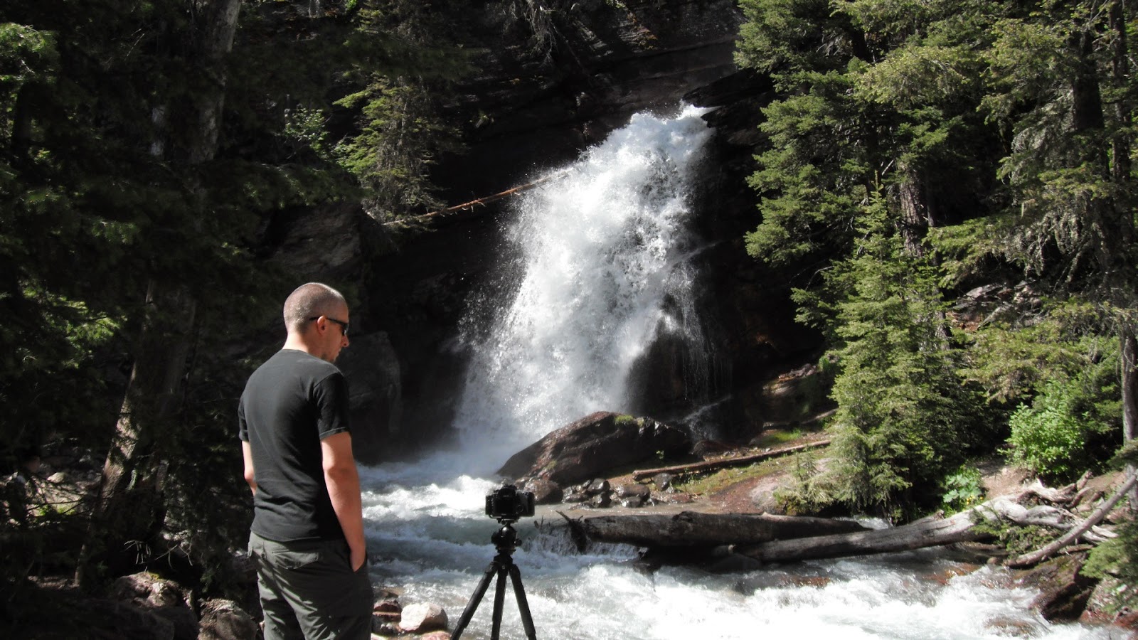
Baring Falls


Back at the motorhome, we showered, had a beer and went out of the park for gas and something to eat.  We took Kathy's advice and went to Park Cafe where we shared nachos and both had a piece of huckleberry pie.  The pie cost way more than the dinner but was really good ($9.95 for ala mode, $6.95 plain...pie prices not listed on menu).  The place is under new management this year so probably much different from when Kathy and Mary Lou were here.