Tuesday, September 30, 2014

Paddling Navaho Lake

We were thinking of our pirate friends as we set out to paddle this morning. Though not quite as pretty as Maine, the shore was covered with interesting rock shapes and the weather was like a fall day on the ocean with bright blue skies and big puffy white clouds. We sure would have liked their company or the company of any of our kayak friends. 

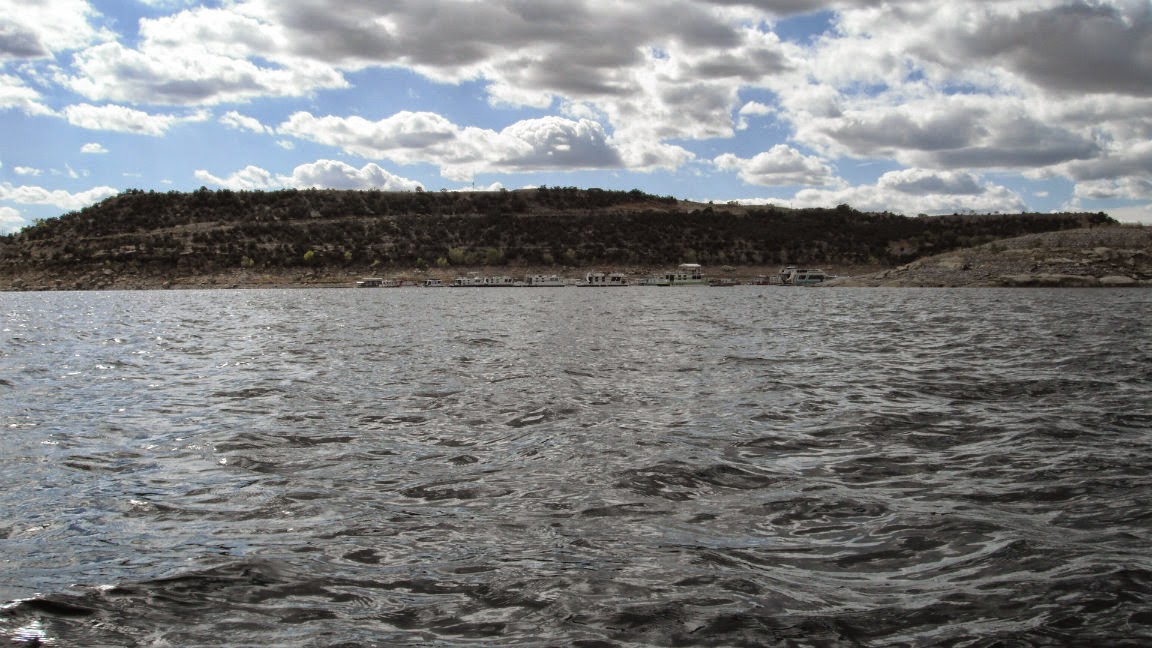
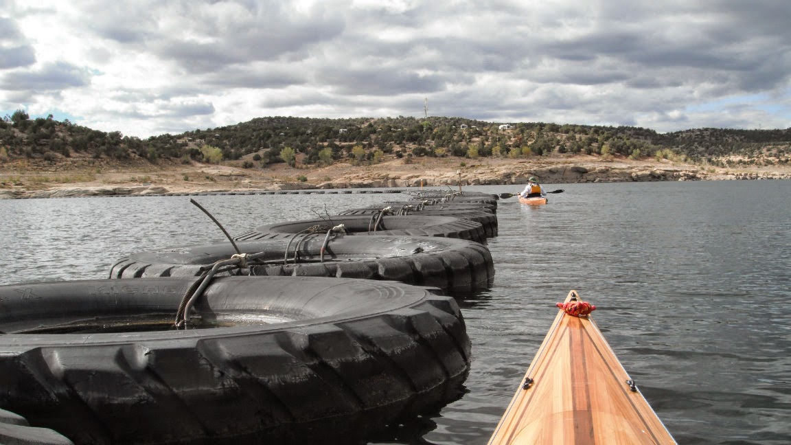
We launched at the boat ramp and paddled out past the long breakwater of huge tires that Ted thinks were about seven feet in diameter. They were hooked together with thick cable and had styrofoam in them to keep them afloat. A couple of tires even had trees growing out of them. The semi-circle of tires protect the marina with its several hundred luxurious houseboats. 


Breakwater of Tires
End of the Island
We paddled across to the island that is in front of the marina and paddled the far side. There were all kinds of cables and weights on this side with the cables crossing the island to the marina side. We never did find out what they were attached to. One set of weights was a cluster of rusty old engine blocks while others were concrete filled barrels or attached to rocks on the island. When we got to the end of the island, we could look to our right and see the big earthen dam that was built to form the lake.


Engine Blocks for Weights
Along the Island
Once past the island, we made the mile long crossing to the mouth of Frances Canyon. We took our time paddling along the shore looking at all the interesting shapes and colors of the tumbled and eroded sandstone. Some of the rocks were precariously balanced on the edge which made it a little unnerving to paddle under them. We paddled the shoreline going into all the coves and small arms off of the main channel. One arm had a houseboat tucked in it, a perfect place for pirates to hide. There weren't many places to get out but when we found one where we could stretch our legs, we got out to find several fire rings and lots of trash. We walked up onto some big rocks where we could see further up the canyon.


Crossing to Frances Canyon


Not Quite Like Maine But Rocky Just the Sam
Entrance to Canyon

Sandstone Boulders


Pirate Weekend Hangout

Navigating the Passages
Hoping the Rocks Don't Fall
Lunch Cove

Looking Further into the Canyon
Great Place to Stretch Our Legs

Layers of Deposition Pressed into Sandstone
Heading Back Out


Interesting Rock Shapes
We Think Wave Action Cut into the Soft Rock
The Heart
Very Little Boat Traffic Crossing to the Island

The Crevice Monster in Us
Looks Like a Planter

Cabled Together
Looking Down from the Campground


The wind was not a big factor in the canyon but it was blowing into the canyon and away from the marina so we figured it might be strong crossing back and it was. We decided not to finish the last mile of canyon and turned around. It took some effort to make the crossing against the wind which was strong enough for white caps especially since we hadn't paddled since we were in the Tetons . We arrived back at the boat launch about four o'clock tired but content after a beautiful day on the water.

Monday, September 29, 2014

Navaho State Park


Sunday, September 28, 2014

It rained off and on all night,  just enough to keep waking us up when it started again. The rest of the day was not better. We saw Frank and Linda off in the morning and then did rainy day things like reading and watching TV. We had our Dish Network account put on hold before we went up into Canada in June and have not had TV since. We have cable here so have watched a little. The commercials are frustrating.

Monday, September 29, 2014

We woke up to a cold cloudy day. Heading toward Durango we could see snow on the mountains we had driven through a few days ago. I took a few photos from a distance but once we were closer to them, the tops were in clouds and before we got to Durango, we were driving through the clouds. Just as we were coming into town, it started to pour and rained off and on, mostly on, until we got to our campsite at Navaho State Park in New Mexico. The rivers, brooks and ditches were filled with brown, muddy, rushing water and we even saw them plowing the mud out of the road in one place. South of Ignacia on the Southern Ute Indian Reservation we started seeing dozens of Natural gas and oil wells, pipelines and refining plants. We continued to see the same in New Mexico and can even see some across the lake (reservoir) from where we are camping.

Snow on the Mountains

Heading Into the Clouds

Great Retaining Walls in Durango


It had pretty much cleared up by the time we got set up with blue sky overhead so we walked around the campground to see what other sites might be available and to get a better look at the lake. We started hearing rumbling in the distance and at first thought it was a plane. When the rumbling continued, we looked up to see really dark clouds heading our way. We got back to the motorhome just a little before it started hailing. I have never heard anything like it. What a loud noise!! It lasted less than a minute but was pretty scary while it was happening. I was afraid it would do damage to the motorhome or car. When it was over and the short rain storm had passed, Ted found a marble sized hail stone on the steps. I would hate to be in a storm with larger ones.

Coming Down Into the Campground

Not A Great View From Front Window But There Was Sunshine
The Black Clouds Are Coming

Can't Wait to Start Paddling The Canyons
Hail on the Wiper

What the Hail!
It cleared up again and after a great dinner we went for another walk. The sky in the east was a pretty color pink but there was no color in the west and it got dark (and cold) really quickly.

Pink Sky Over the Lake

Saturday, September 27, 2014

Mesa Verde Again

Ted got up early and drove to Mancos where they were having an early morning hot air balloon event. He got to see them launch eight balloons.


First 2 Balloons Up at 7:20am
My Favorite
Next Favorite Lifting Off
3 of the 8 Balloons Over Mancos Village
When he returned, we got ready to go back to Mesa Verde to see some of the places we were too tired to visit the first time. We entered the park and drove all the way to the Chapin Mesa in order to see Spruce Tree House which is a wonderfully restored cliff house just below the museum. The cliff houses in the park are so much better preserved than the pueblos built on the mesa as they have protection from the cliff that they are built in and Spruce Tree House is the best preserved of them all. The alcove the pueblo is in is two hundred sixteen feet long, and had a hundred twenty rooms, ten associated ledge rooms, eight kivas and two towers.

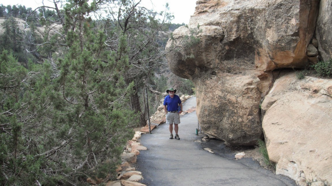
We could see the Spruce Tree House from the top of the mesa and walked the half mile trail down through switchbacks to reach pueblo. We were able to be closer to this pueblo than any of the others and were even able to climb a ladder down into a covered kiva. There were rangers on hand to answer questions and prevent damage to the pueblo but we were free to take our time and explore the amazing structures. The builders were so precise and carved the building stones to fit the contours of the cliff overhead. Visiting this pueblo was worth the thirty mile trip back into the park. 
Mesa Verde From a Distance

Road Winds Back and Forth Climbing The First Mesa 
The Spruce Tree House

Half Mile Descending Paved Walkway 
Switchbacks

Many T-shaped Doors
Blackened Ceilings From Cook Fires
Covered Kiva With Ladder
They Called All the Openings Doors

Kiva Without Cover
We Were Allowed to Climb Down 

Not Bad Once Our Eyes Adjusted

How About That Ladder Rung Wear

About Half Way Across
Puebloans
There is a Large Open Area Behind This Room

Looking Back the Other Way
Early 1900s Condition and Artist's Conception


The Cheaters Viewed From Up There
Interesting Cactus Near Museum
We made a short stop at Cedar Tree Tower. Kivas and towers were often connected but archeologists don't know why.


Cedar View Tower

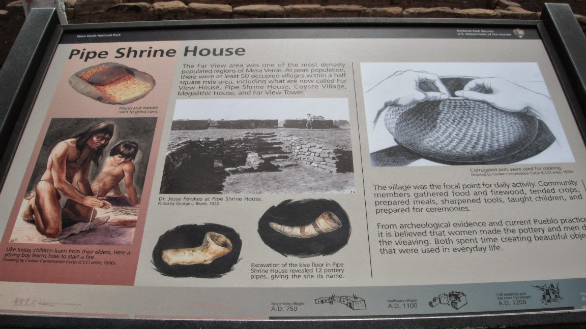
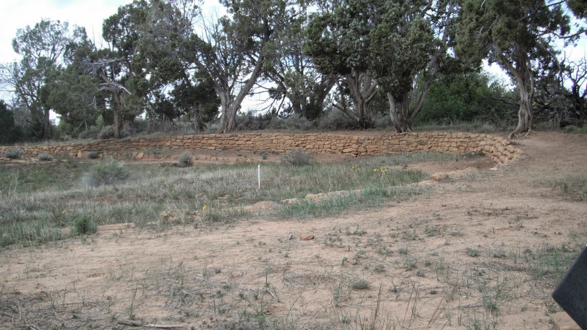
At Far View Sites, we found five different pueblo areas ranging in age from 800 to 1300 a.d. as well as a large reservoir. Far View House was named for the large view across the mesa and down into the valleys while Pipe Shrine House was named for the decorative pipes found in the kiva. The reservoir had steps leading down into it for water bearers and a steep ramp on the far side for water intake. There is evidence of ditches leading to or from it. It is ninety feet in diameter and twelve feet deep and a unique feature at Mesa Verde. At Coyote Village, we were able to walk on the pueblo. One of the interesting features was a row of bins beside a grinding stone where corn would have been ground and stored. Because they used sandstone to grind their corn, there was much sand in their food and from remains found, their teeth were ground down to short stubs. 

Far View House

Far View House

Pipe Shrine House

Pipe Shrine House Looking Toward Far View House

Another View of Pipe Shrine House
Far View Tower

Another View of Far View Tower
Reservoir - Intake on Far Side

Another View of Reservoir
Enclosure Built to Protect Megalithic House


Megalithic House


Bins For Storing Meal

One of Five Kivas
Well Preserved - The Pueblo, Not Sheila

Thirty Ground Floor Rooms Housing Forty to Fifty People
We continued working our way out of the park stopping at overlooks. From some overlooks we could see the layers of winding roads that take you into and out of the park. There is a fire station at Park Point, elevation 8,600 feet, where you can see up to a hundred fifty miles in all directions if the weather and smog allow. We could see the Abajo mountains that we had climbed on our way out of Canyonlands, the Manti-La Sal Mountains we had climbed near Arches and Moab, Sleeping Ute Mountain, tall Mount Wilson and Lone Cone over fourteen thousand feet high, the San Juan and La Plata Mountains that we were in this week and many more to the south that we have yet to explore.


This Showed Layers That Stopped Water Causing It To Seep Out 
Once Covered by a Shallow Sea

Some of the Roads and View From Park Point
More Roads and Sleeping Ute

The Drop Offs Are Steeper Than They Appear Here
Looking Toward the San Juan Mountains

More Winding Road
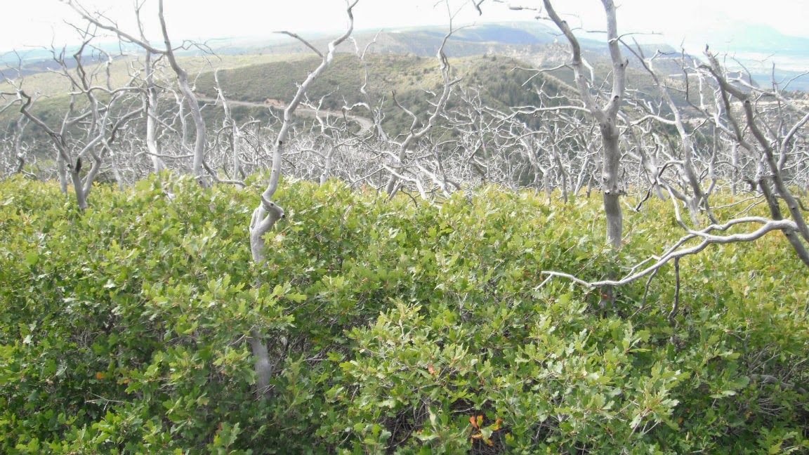
Dead Trees Looked Like Antlers
When we got back to the campground, it started raining off and on so we missed our last night of happy hour with Frank and Linda.