Today, on the way into Moab, we checked out the huge construction project on the north end of town. We had been seeing all this excavation work just south of Arches that was called the UMTRA Project and wondered what they were building. After driving around the site and finding an interpretive sign we discovered that instead of building, they were taking down. UMTRA stands for Uranium Mill Tailings Remedial Action. The mill was constructed in 1956, sold uranium to the US Atomic Energy Commission through 1970 and ceased operation in 1984. When the company went bankrupt in 1998, it became the responsibility of the US Department of Energy to clean up the sixteen million tons of contaminated mill tailings on a hundred thirty acres. The total cleanup site is four hundred eighty acres. They are removing all the mill tailings and contaminated soil in steel lined containers that are being relocated to an engineered disposal cell elsewhere in Utah. They take one train load a day which we saw go by the other day.
 |
| Loading One of the Containers |
 |
| They Were Using a Plow to Turn Over the Soil |
 |
| Train Tracks Just Above the Site, Crane Lifts Containers From Truck to Train |
 |
| Site Map |
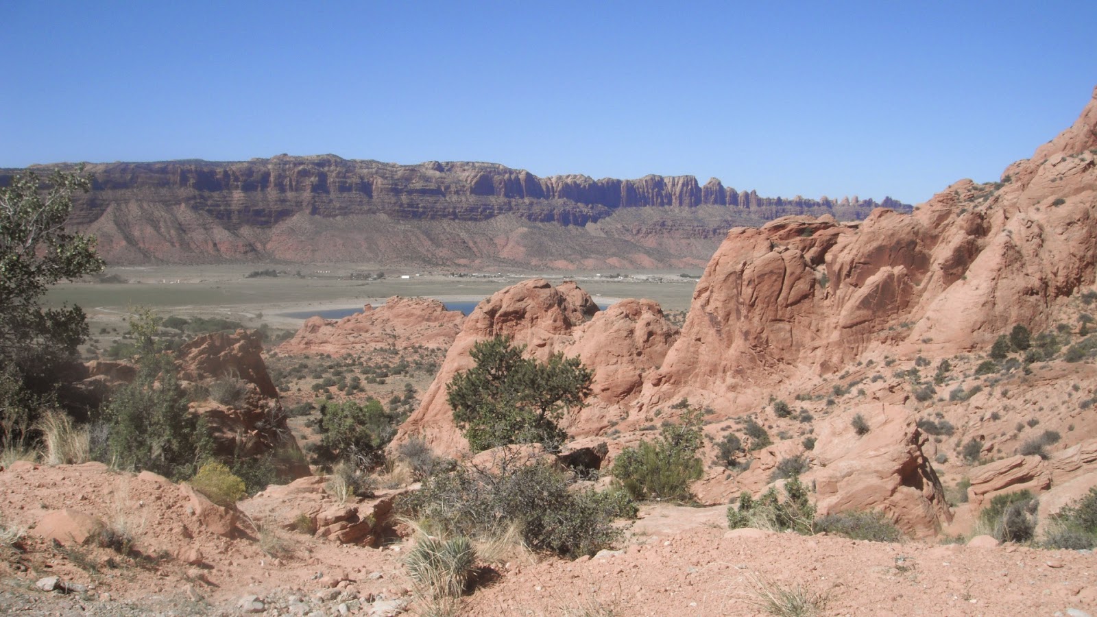
It took us an hour and a half from the time we left the campground to find the La Sal Loop Road, a sixty-four mile loop that follows the narrow winding (sometimes scary) road up into the La Sal Mountains where the road reaches and elevation of over ten thousand feet. First we explored the boundaries of the UMTRA Project, then we drove a few miles south of town looking for the road. We turned back to the visitors center where they told us to look for the sign to Ken's Lake. We drove to Ken's Lake, a small body of water and then started up this steep, dirt road through great red rock formations. We ascended quite quickly and went through a break in the rocks only to find the road drop very, very steeply. We figured if we went down we would never get back out so were able to back up to where we could turn around. After turning around, we came to a small sign that said the road was for only extremely experienced drivers with four wheel drive vehicles. Oops, wrong road. The views of Spanish Valley were great, though. Once safely back in the valley, we finally found the right road which was paved.
 |
| Small Ken's Lake |
 |
| Going Up |
 |
| Point of No Return |
The beginning of the LaSal Loop Road goes through the Spanish Valley where the Old Spanish National Historic Trail is found. The fields are full of cactus which look like they are either about to blossom or have just recently blossomed. The highest mountains in the La Sal Range are almost thirteen thousand feet high so even though we we at ten thousand feet, the bald tops of the mountains soared above us. At the higher elevations, the aspens had turned to gold but were just starting to turn along the roadside. There were, however, lots of wildflowers, some like the Indian paintbrushes that we had seen blossoming in the spring up in Glacier National Park. Along the way the view kept opening up to wide vistas. We could look over and see Canyonlands as well as Arches in the distance. Where we stopped for lunch we could see the whole valley including the two parks and beyond. With binoculars, we thought we could see Delicate Arch that we had climbed to the other day. From the arch, we could look through and see the mountains in the distance. There are jeep and four-wheeler trails all through the Manti-La Sal National Forest and near the top there are cabins with incredible views that are for rent. The pictures tell the rest of the story.
 |
| Finally on the Right Road |
 |
| Fields of Cactus |
 |
| Winding Up Into the LaSal Mountains |
 |
| Some Great Views |
 |
| Highest Peak Well Above Treeline |
 |
| High Elevation Aspens Have Fall Colors |
 |
| Rental Property With a View |
 |
| Cabins For Rent |
 |
| Looks Like a Pirate |
 |
| Our View at Lunch |
 |
| Avalanche |
 |
| Previous Forest Fire |
 |
| Contrast in Colors |
Once out of the higher elevations, we were back in the red rock area of Castle Valley which winds its way back to the Colorado River. There are a half dozen or more small BLM campgrounds along the river with high cliffs across the river, the river, strip of campsites, road and more high cliffs. When we were here in 1995, we were sleeping in a tent not twenty feet from the water. We tried to find the campsite we were in for old times sake but all the campgrounds have been upgraded since then and we couldn't even remember which campground it was.


No comments:
Post a Comment