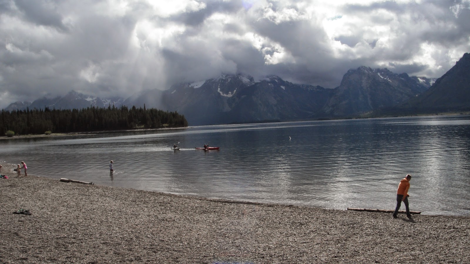
The drive from Fishing Bridge to the East Entrance of Yellowstone and down into Cody, Wyoming is one of the prettiest stretches of road we have ever been on. We left about 9:30 in fifty degree weather, a heat wave for here. Our first stop was by Indian Pond which was beside Yellowstone Lake and so calm that we could see the reflections of the trees and clouds in the water. There were two bison drinking from the far end of the pond with about a dozen people standing in the field not far from the bison. If you have never seen a bison up close, it is not an animal I would want to be standing next to with no where to run. They are BIG.
We followed the lake for quite awhile with the evidence of a more recent burn. The standing trees still had black char marks and if there were any little trees sprouting yet, they were no more than a couple feet tall. Once away from the lake, we started climbing towards Sylvan Pass with an elevation of 8530 feet. There were lots of pretty yellow wildflowers all along the way with purple asters mixed in.
At Sylvan Pass there are dramatic mountains all around with Avalanche Mountain beside the road. The mountain is well named as it is one large rock slide from the top to the road. They had one lane of traffic stopped so they could clear the rocks that had fallen in the ditches.
 |
| The Tiny Cabin Adds Perspective |
On the other side of the pass was a deep ravine with steep drop offs and a really winding road. This area is all part of the Absaroka Mountains. Once out of the park we were on the Buffalo Bill Cody Scenic Highway and in the Shoshone National Forest. One of the first things we came to was Pahaska Tepee where Buffalo Bill's original 1904 hunting cabin is located surrounded by gift shop, general store and several other buildings. We stopped for a bathroom break and briefly browsed the shop. There are several campgrounds east of Pahaska, all for hard-sided campers only. It appears that there are a lot of bears in the area and not safe for tents and pop-ups. Nearby was the Sleeping Giant Ski Area with more bear warning signs.
 |
| Buffalo Bill Cody's Hunting Lodge |
The rock formations in the Shoshone River Canyon were spectacular. We wanted to be taking photos at every corner. It reminded us of Bryce Canyon only with brown rock instead of red. We saw a mule deer and fawn between the road and the river as well as a memorial to firefighters who had perished in the Blackwater Creek Forest Fire. In the small town of Wapiti which means elk, there was a stack of elk antlers in someone's front yard at least twelve feet tall and eight feet in diameter. That's a lot of antlers.
Once we were in the valley, everything was named after Buffalo Bill Cody including the town. We passed Buffalo Bill Ranch, Buffalo Bill Reservoir, Buffalo Bill State Park, Buffalo Bill Dam, Buffalo Bill Dam Visitors Center, Buffalo Bill Center of the West, Buffalo Bill Restaurant, Motel, Hotel... You get the picture.
We stopped at Buffalo Bill Dam Visitors Center. Built between 1905 and 1910, becoming the world's highest concrete arch dam. Below zero temperatures, floods, and highly dangerous conditions caused three contractors to go broke before it was done. Seven people died while building it while many others lost limbs or were severely injured. Unlike other dams we have visited, the water is rerouted downstream to the power plant so that there is almost no water just below the dam.
Our main purpose of going into Cody was to get my prescriptions filled at the Walmart there. There are only a few Walmarts in the large State of Wyoming so we needed to get there while we could. It was only eighty miles one way! We ate at a Mexican Restaurant and headed back making one stop at Lake Butte Overlook on our way. The overlook is a little over six hundred feet above Yellowstone Lake and from there we could see the edge of the Tetons and miles and miles of lake and wilderness. I met a couple of friends there.
 |
| We Have Seen Many Ravens Out West |


